
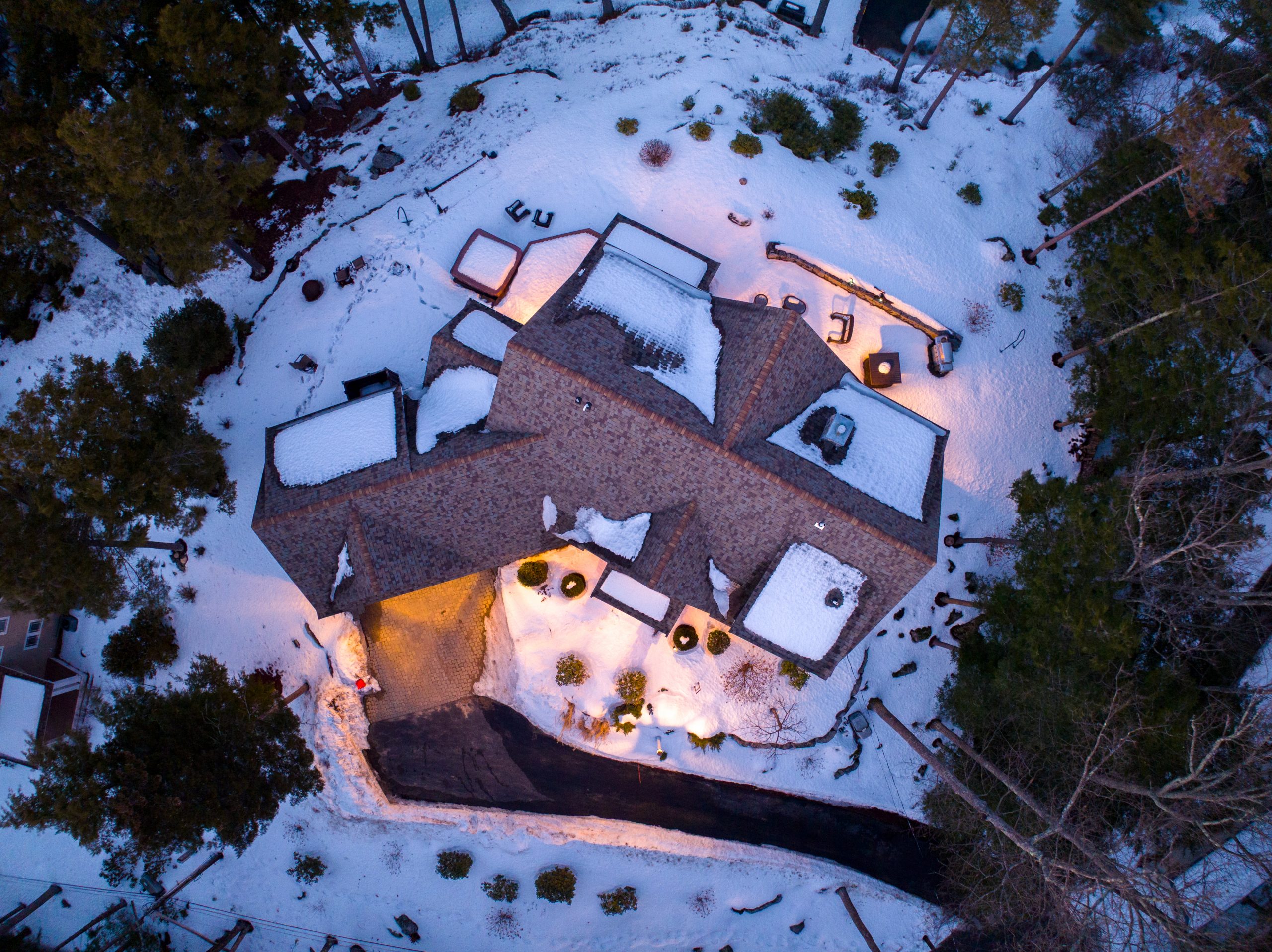
An orthomosaic combines aerial photographs into a single overhead image of the captured area. For a construction or industrial site, it can provide a current visual reference for discussing work areas, access routes, and the relationship between structures.
Mapping can be commissioned for an individual visit or included within a recurring progress program. Coverage and output requirements should be agreed before capture so the map serves the intended purpose.